Diamer
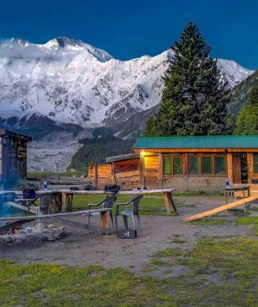
The Diamer District also spelled Diamir District, is a district in Gilgit-Baltistan territory of Pakistan. The headquarters of the district is the town of Chilas. The district is bounded by on the north by the Tangir and the Gilgit districts, on the east by the Astore District, on the south by the Mansehra district of Pakistan's Khyber Pakhtunkhwa Province and the Neelum District of Azad Kashmir, and on the west by the Upper Kohistan District of Khyber Pakhtunkhwa Province. The Karakoram Highway passes through the Diamer District.Nanga Parbat located in Diamer which means “king of the mountains”, is the ninth-highest mountain on Earth, its summit at 8,126 m (26,660 ft) above sea level. Lying immediately southeast of the northernmost bend of the Indus river in the Gilgit-Baltistan region of Pakistan-administered Kashmir, Nanga Parbat is the westernmost major peak of the Himalayas, and thus in the traditional view of the Himalayas as bounded by the Indus and Yarlung Tsangpo/Brahmaputra rivers, it is the western anchor of the entire mountain range.Nanga Parbat is one of the 14 eight-thousanders. An immense, dramatic peak rising far above its surrounding terrain, Nanga Parbat is known to be a difficult climb, and has earned the nickname Killer Mountain for its high number of climber fatalities.